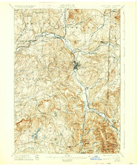
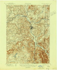
1897 Map of Hoosick
USGS Topo · Published 1933About this map
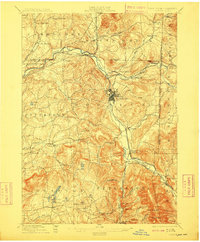
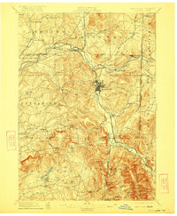
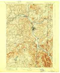
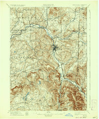
Hoosic River valley industry and transportation dominate this late nineteenth-century landscape, captured shortly after the major rail expansions of the era. The village of Hoosick Falls stands as a central hub, surrounded by a complex network of iron rails including the Fitchburg R. R. and the Lebanon Springs R. R. which meet at Petersburg Junction. This survey illustrates the early industrial character of the region, from the milling activity at Factory Hollow to the small rural crossroads like Martin Dale Corners and Briggs Corners that served the agricultural uplands.
Find a feature on this map
75 named features on this map. Tap any name to fly to it.
Don’t see what you’re looking for? This feature index may not catch every label — zoom into the map to look around manually.
Map Details
Editions of this 1897 Hoosick Map
10 editions found

Other maps of this area

1886 · Greylock
USGS Topo · 1:62,500

1888 · Berlin
USGS Topo · 1:62,500

1890 · Berlin
USGS Topo · 1:62,500

1891 · Greylock
USGS Topo · 1:62,500

1893 · Cohoes
USGS Topo · 1:62,500

1893 · Troy
USGS Topo · 1:62,500

1893 · Greylock
USGS Topo · 1:62,500

1894 · Berlin
USGS Topo · 1:62,500

1894 · Equinox
USGS Topo · 1:62,500

1895 · Troy
USGS Topo · 1:62,500