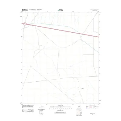
2011 Map of Hope SE
USGS Topo · Published 2011About this map
The Central Arizona Project Aqueduct cuts through this arid landscape, representing a critical piece of water management infrastructure in the desert. To the south, the northern reaches of the Eagletail Mountains define the topography, where natural drainage patterns fan out across the basin. The map illustrates a specialized network of industrial and utility access, most notably the El Paso Natural Gas Company Ac Rd and the At And T Frontage Rd. These routes, alongside uniquely named local tracks like Sore Finger Rd, highlight the intersection of utility maintenance and remote desert navigation in La Paz County during the early twenty-first century.
Find a feature on this map
8 named features on this map. Tap any name to fly to it.
Don’t see what you’re looking for? This feature index may not catch every label — zoom into the map to look around manually.
Map Details
Editions of this 2011 Hope SE Map
This is the sole edition of this map. No revisions or reprints were ever made.
Other maps of this area

1942 · Vicksburg
USGS Topo · 1:250,000

1954 · Phoenix
USGS Topo · 1:250,000

1957 · Phoenix
USGS Topo · 1:250,000

1958 · Phoenix
USGS Topo · 1:250,000

1960 · Phoenix
USGS Topo · 1:250,000

1961 · Hope
USGS Topo · 1:62,500

1961 · Lone Mountain
USGS Topo · 1:62,500

1962 · Little Horn Mts
USGS Topo · 1:62,500

1962 · Eagletail Mts
USGS Topo · 1:62,500

1969 · Phoenix
USGS Topo · 1:250,000