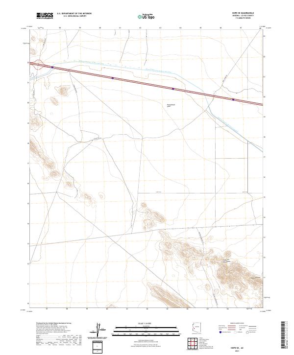
2021 Map of Hope SE
USGS Topo · Published 2021About this map
The Harquahala Plain dominates the northern reaches of this landscape, characterized by the modern engineering of the Central Arizona Project Aqueduct. This massive water infrastructure project cuts across the desert floor, following the path of Interstate 10. To the south, the terrain rises sharply into the Eagletail Mountains, a prominent range that includes the notable Natural Arch. The area is navigated by a network of desert routes such as Palomas Harquala Rd and Sore Finger Rd, reflecting the remote, arid character of La Paz County. The mapping shows a stark contrast between the industrial scale of the aqueduct and the undisturbed geological formations of the Eagletail range, offering a clear view of how modern resource management intersects with the southwestern wilderness.
Find a feature on this map
14 named features on this map. Tap any name to fly to it.
Don’t see what you’re looking for? This feature index may not catch every label — zoom into the map to look around manually.
Map Details
Editions of this 2021 Hope SE Map
This is the sole edition of this map. No revisions or reprints were ever made.
Other maps of this area

1942 · Vicksburg
USGS Topo · 1:250,000

1954 · Phoenix
USGS Topo · 1:250,000

1957 · Phoenix
USGS Topo · 1:250,000

1958 · Phoenix
USGS Topo · 1:250,000

1960 · Phoenix
USGS Topo · 1:250,000

1961 · Hope
USGS Topo · 1:62,500

1961 · Lone Mountain
USGS Topo · 1:62,500

1962 · Little Horn Mts
USGS Topo · 1:62,500

1962 · Eagletail Mts
USGS Topo · 1:62,500

1969 · Phoenix
USGS Topo · 1:250,000