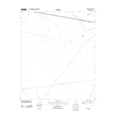
2011 Map of Hope SW
USGS Topo · Published 2011About this map
The Little Harquahala Mountains and the prominent Black Rock Hill define the arid landscape of this 2011 survey in La Paz County. The area's essential water infrastructure is dominated by the Central Arizona Project Aqueduct and the drainage patterns of Upper Bouse Wash. This map documents a high-desert environment where industrial access and remote transportation routes prevail over residential settlement. Modern infrastructure, such as the El Paso Natural Gas Company Ac Rd and Hovatter Rd, highlights the region's role as a corridor for utilities and transit. Smaller water features like Charco Tank serve as isolated landmarks amidst the vast western terrain, while the junction of Vicksburg Rd and Norton to Harquahala Rd provides a record of the area's secondary road network.
Find a feature on this map
9 named features on this map. Tap any name to fly to it.
Don’t see what you’re looking for? This feature index may not catch every label — zoom into the map to look around manually.
Map Details
Editions of this 2011 Hope SW Map
This is the sole edition of this map. No revisions or reprints were ever made.
Other maps of this area

1942 · Vicksburg
USGS Topo · 1:250,000

1954 · Phoenix
USGS Topo · 1:250,000

1957 · Phoenix
USGS Topo · 1:250,000

1958 · Phoenix
USGS Topo · 1:250,000

1960 · Phoenix
USGS Topo · 1:250,000

1961 · Hope
USGS Topo · 1:62,500

1962 · Little Horn Mts
USGS Topo · 1:62,500

1962 · Kofa Butte
USGS Topo · 1:62,500

1962 · Vicksburg
USGS Topo · 1:62,500

1969 · Phoenix
USGS Topo · 1:250,000