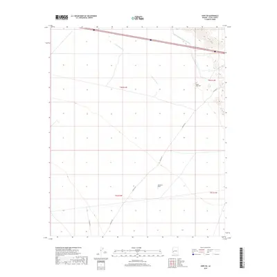
2018 Map of Hope SW
USGS Topo · Published 2018About this map
Ranegras Plain dominates this arid landscape of western Arizona, characterized by expansive desert terrain and the critical infrastructure of the modern West. The Central Arizona Project Aqueduct cuts across the northern reaches of the quadrangle, representing the massive water management efforts essential to the region. Surface drainage is defined by the wandering path of Upper Bouse Wash, which provides a rare point of topographical contrast in the otherwise low-lying basin. To the northeast, the elevation rises toward Black Rock Hill, a distinct volcanic feature that anchors the surrounding flatlands. Transportation in this portion of La Paz County is limited to sparse corridors like Hovatter Rd and Vicksburg Rd, tracing the paths of long-established desert routes that continue to serve this sparsely populated area.
Find a feature on this map
10 named features on this map. Tap any name to fly to it.
Don’t see what you’re looking for? This feature index may not catch every label — zoom into the map to look around manually.
Map Details
Editions of this 2018 Hope SW Map
This is the sole edition of this map. No revisions or reprints were ever made.
Other maps of this area

1942 · Vicksburg
USGS Topo · 1:250,000

1954 · Phoenix
USGS Topo · 1:250,000

1957 · Phoenix
USGS Topo · 1:250,000

1958 · Phoenix
USGS Topo · 1:250,000

1960 · Phoenix
USGS Topo · 1:250,000

1961 · Hope
USGS Topo · 1:62,500

1962 · Little Horn Mts
USGS Topo · 1:62,500

1962 · Kofa Butte
USGS Topo · 1:62,500

1962 · Vicksburg
USGS Topo · 1:62,500

1969 · Phoenix
USGS Topo · 1:250,000