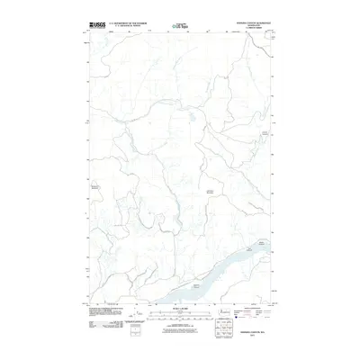
2011 Map of Hopkins Canyon
USGS Topo · Published 2011About this map
The Colville Indian Reservation landscape is defined by its dramatic verticality and complex drainage systems in north-central Washington. High summits such as Whitmore Mountain and Hamilton Mountain overlook a series of erosional features, including the deep namesake Hopkins Canyon. Water is the primary architect of this terrain, with the Columbia River carving through the southeast corner while tributary systems like Kartar Creek and Coyote Creek branch across the highlands. The distribution of Bureau of Indian Affairs routes, such as BIA 1077 Rd and Omak Lake Columbia River Rd, highlights the modern infrastructure required to navigate this portion of Okanogan County. Geologists and local historians can observe the distinct branching patterns of Smith-Condon Creek and Harrison Creek, which feed into the larger river basins, alongside smaller drainages like Weber Canyon and Lee Canyon.
Find a feature on this map
22 named features on this map. Tap any name to fly to it.
Don’t see what you’re looking for? This feature index may not catch every label — zoom into the map to look around manually.
Map Details
Editions of this 2011 Hopkins Canyon Map
This is the sole edition of this map. No revisions or reprints were ever made.
Other maps of this area

1950 · Boot Mtn
USGS Topo · 1:62,500

1950 · Alameda Flat
USGS Topo · 1:62,500

1952 · Alameda Flat
USGS Topo · 1:62,500

1952 · Disautel
USGS Topo · 1:62,500

1953 · Omak Lake
USGS Topo · 1:62,500

1954 · Okanogan
USGS Topo · 1:250,000

1958 · Okanogan
USGS Topo · 1:250,000
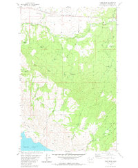
1980 · Camp Seven
USGS Topo · 1:24,000
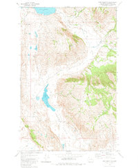
1980 · Boot Mountain
USGS Topo · 1:24,000
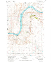
1980 · Trefry Canyon
USGS Topo · 1:24,000