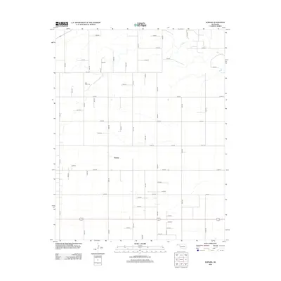
2012 Map of Hopkins
USGS Topo · Published 2012About this map
The Oklahoma Panhandle settlement of Hopkins is the central point of this high-plains landscape in Cimarron County. The topography is defined by the ephemeral path of Goff Cr, which cuts through the northern half of the region as it drains toward the east. This 2012 survey illustrates the geometric precision of the Great Plains' section-line road network, where routes like n0500 RD and e0150 RD create a stark grid across the landscape. Tucked among these agricultural sections is the Goff Hagan Cem, a key landmark for genealogical research in this sparsely populated area. The presence of Co Hwy 43 provides the primary east-west arterial connection, while numerous numbered roads indicate the enduring organization of rural homesteads and ranch lands that have sustained this part of the state for generations.
Find a feature on this map
43 named features on this map. Tap any name to fly to it.
Don’t see what you’re looking for? This feature index may not catch every label — zoom into the map to look around manually.
Map Details
Editions of this 2012 Hopkins Map
This is the sole edition of this map. No revisions or reprints were ever made.
Other maps of this area

1954 · Perryton
USGS Topo · 1:250,000

1954 · Dalhart
USGS Topo · 1:250,000

1958 · Perryton
USGS Topo · 1:250,000

1958 · Dalhart
USGS Topo · 1:250,000

1962 · Dalhart
USGS Topo · 1:250,000

1971 · Griggs NE
USGS Topo · 1:24,000

1971 · Sturgis
USGS Topo · 1:24,000

1971 · Hopkins
USGS Topo · 1:24,000

1971 · Keyes East
USGS Topo · 1:24,000

1971 · Griggs NW
USGS Topo · 1:24,000