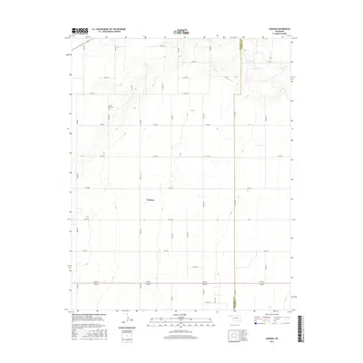
2016 Map of Hopkins
USGS Topo · Published 2016About this map
Hopkins serves as a focal point in this section of the Oklahoma Panhandle, situated within a high-plains landscape defined by a regular grid of section roads like N0510 Rd and E0140 Rd. The terrain is generally level, carved only by the drainage of Goff Cr in the northern reaches. For those researching local families, the Goff-Hagan Cem provides a significant genealogical touchpoint north of the main settlement area. This 2016 survey also documents the geopolitical boundary between Cimarron Co and Texas Co, illustrating how administrative lines bisect the agricultural properties and road networks of this rural region.
Find a feature on this map
29 named features on this map. Tap any name to fly to it.
Don’t see what you’re looking for? This feature index may not catch every label — zoom into the map to look around manually.
Map Details
Editions of this 2016 Hopkins Map
This is the sole edition of this map. No revisions or reprints were ever made.
Other maps of this area

1954 · Perryton
USGS Topo · 1:250,000

1954 · Dalhart
USGS Topo · 1:250,000

1958 · Perryton
USGS Topo · 1:250,000

1958 · Dalhart
USGS Topo · 1:250,000

1962 · Dalhart
USGS Topo · 1:250,000

1971 · Griggs NE
USGS Topo · 1:24,000

1971 · Sturgis
USGS Topo · 1:24,000

1971 · Hopkins
USGS Topo · 1:24,000

1971 · Keyes East
USGS Topo · 1:24,000

1971 · Griggs NW
USGS Topo · 1:24,000