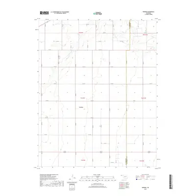
2018 Map of Hopkins
USGS Topo · Published 2018About this map
Hopkins serves as the central focal point of this high-plains landscape, situated along the county line where Cimarron County meets Texas County. The geography is defined by a grid of section lines and rural routes, including N0510 Road and E0150 Road, which organize the vast agricultural and ranching terrain of the Oklahoma Panhandle. In the northern reaches, the seasonal drainage of Goff Creek cuts through the plains, providing one of the few natural relief features in the area. Genealogists and local historians will find the Goff Hagan Cemetery near the western edge, a site that preserves the names of early settling families in this corner of the state. The map illustrates the enduring Township and Range system, specifically covering parts of T5N R9E and T4N R9E, which has dictated land ownership and road placement since the era of original settlement.
Find a feature on this map
37 named features on this map. Tap any name to fly to it.
Don’t see what you’re looking for? This feature index may not catch every label — zoom into the map to look around manually.
Map Details
Editions of this 2018 Hopkins Map
This is the sole edition of this map. No revisions or reprints were ever made.
Other maps of this area

1954 · Perryton
USGS Topo · 1:250,000

1954 · Dalhart
USGS Topo · 1:250,000

1958 · Perryton
USGS Topo · 1:250,000

1958 · Dalhart
USGS Topo · 1:250,000

1962 · Dalhart
USGS Topo · 1:250,000

1971 · Griggs NE
USGS Topo · 1:24,000

1971 · Sturgis
USGS Topo · 1:24,000

1971 · Hopkins
USGS Topo · 1:24,000

1971 · Keyes East
USGS Topo · 1:24,000

1971 · Griggs NW
USGS Topo · 1:24,000