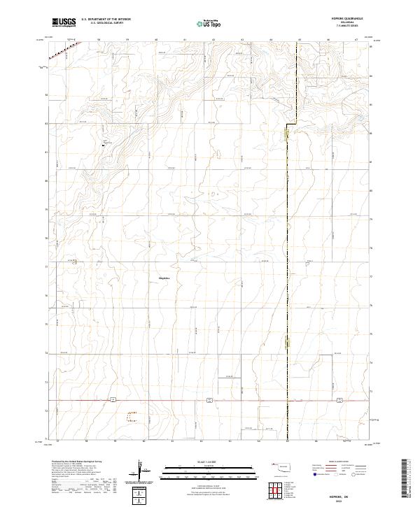
2022 Map of Hopkins
USGS Topo · Published 2022About this map
The Oklahoma Panhandle’s wide, geometric landscape is defined by the high plains of Cimarron Co and Texas Co in this modern topographic survey. The settlement of Hopkins serves as a central waypoint within a vast network of section-line roads, including E0140 Rd and Road N, which grid the arid terrain. The natural topography is shaped by the winding course of Goff Cr in the northern reaches, where the land breaks from the flat plateau into more varied drainage patterns. For genealogists and local historians, the Goff - Hagan Cem stands as a significant landmark in the northwest, preserving the memory of earlier generations who settled these remote sections of the High Plains.
Find a feature on this map
27 named features on this map. Tap any name to fly to it.
Don’t see what you’re looking for? This feature index may not catch every label — zoom into the map to look around manually.
Map Details
Editions of this 2022 Hopkins Map
This is the sole edition of this map. No revisions or reprints were ever made.
Other maps of this area

1954 · Perryton
USGS Topo · 1:250,000

1954 · Dalhart
USGS Topo · 1:250,000

1958 · Perryton
USGS Topo · 1:250,000

1958 · Dalhart
USGS Topo · 1:250,000

1962 · Dalhart
USGS Topo · 1:250,000

1971 · Griggs NE
USGS Topo · 1:24,000

1971 · Sturgis
USGS Topo · 1:24,000

1971 · Hopkins
USGS Topo · 1:24,000

1971 · Keyes East
USGS Topo · 1:24,000

1971 · Griggs NW
USGS Topo · 1:24,000