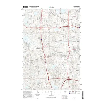
2016 Map of Hopkins
USGS Topo · Published 2016About this map
Minnehaha Creek winds through the heart of this landscape, connecting the expansive Lake Minnetonka at Grays Bay to the historic settlement of Minnetonka Mills. This modern survey reveals the dense suburban development of the Minneapolis-Saint Paul metropolitan area, where established neighborhoods like Hopkins and Plymouth are integrated with numerous glacial lakes and wetlands. The map clearly delineates the complex transportation corridors that define the region, including the CP Rail line and major thoroughfares like Excelsior Blvd. Genealogists and local historians will find value in the precise location of legacy sites such as Parkers Lake Cem, Shady Oak Lake Cem, and Saint Margaret Cem. The topography shows how residential growth has adapted to the natural hydrography of Medicine Lake, Bryant Lake, and the winding course of Purgatory Cr.
Find a feature on this map
58 named features on this map. Tap any name to fly to it.
Don’t see what you’re looking for? This feature index may not catch every label — zoom into the map to look around manually.
Map Details
Editions of this 2016 Hopkins Map
This is the sole edition of this map. No revisions or reprints were ever made.
Other maps of this area

1896 · Minneapolis
USGS Topo · 1:62,500

1901 · Minneapolis
USGS Topo · 1:62,500

1902 · Anoka
USGS Topo · 1:62,500

1905 · Minnetonka
USGS Topo · 1:62,500

1907 · Minnetonka
USGS Topo · 1:62,500

1909 · Rockford
USGS Topo · 1:62,500

1952 · Minneapolis North
USGS Topo · 1:24,000

1952 · Minneapolis South
USGS Topo · 1:24,000

1953 · Saint Paul
USGS Topo · 1:250,000

1953 · Stillwater
USGS Topo · 1:250,000