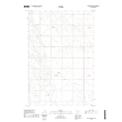
2020 Map of Hopley Creek North
USGS Topo · Published 2020About this map
Nelson Reservoir sits at the heart of this central Montana landscape, capturing runoff in a region defined by its complex drainage network. The terrain is deeply carved by water, featuring the prominent Big Coulee and Dresback Coulee, which dictate the local topography across Wheatland County. The map details a web of seasonal and perennial waterways, including the winding Hopley Cr and its E Fork Hopley Cr, alongside the southern-reaching Mexican John Cr.
Find a feature on this map
18 named features on this map. Tap any name to fly to it.
Don’t see what you’re looking for? This feature index may not catch every label — zoom into the map to look around manually.
Map Details
Editions of this 2020 Hopley Creek North Map
This is the sole edition of this map. No revisions or reprints were ever made.
Other maps of this area

1886 · Little Belt Mts.
USGS Topo · 1:250,000

1889 · Big Snowy Mountain
USGS Topo · 1:250,000

1893 · Big Snowy Mountain
USGS Topo · 1:250,000

1894 · Little Belt Mts.
USGS Topo · 1:250,000

1897 · Little Belt Mts.
USGS Topo · 1:250,000

1898 · Little Belt Mts.
USGS Topo · 1:250,000

1902 · Little Belt Mts.
USGS Topo · 1:250,000

1948 · White Sulphur Springs
USGS Topo · 1:250,000

1954 · Roundup
USGS Topo · 1:250,000

1958 · Roundup
USGS Topo · 1:250,000