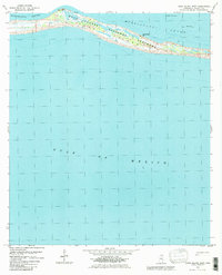
1982 Map of Horn Island West
USGS Topo · Published 1983About this map
Horn Island stretches across the northern portion of this survey, serving as a narrow barrier between the relatively calm waters of the Mississippi Sound and the open expanse of the Gulf of Mexico. As part of the Gulf Islands National Seashore, the landscape is defined by marshy inlets and shifting coastal topography. The map records several specific navigational and historical markers, including a Gaging Station Pier and a Flowing Well on the sound side, while the interior of the island features a single Chimney landmark.
Find a feature on this map
10 named features on this map. Tap any name to fly to it.
Don’t see what you’re looking for? This feature index may not catch every label — zoom into the map to look around manually.
Map Details
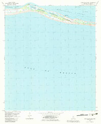
Editions of this 1982 Horn Island West Map
2 editions found
Other maps of this area

1941 · Horn Island
USGS Topo · 1:62,500

1942 · Horn Island
USGS Topo · 1:62,500

1943 · Pascagoula
USGS Topo · 1:62,500

1950 · Dog Keys Pass
USGS Topo · 1:24,000

1953 · Mobile
USGS Topo · 1:250,000

1954 · Deer Island
USGS Topo · 1:24,000

1954 · Biloxi
USGS Topo · 1:62,500

1955 · Pascagoula
USGS Topo · 1:62,500

1957 · Mobile
USGS Topo · 1:250,000

1960 · Mobile
USGS Topo · 1:250,000