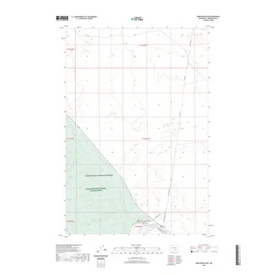
2020 Map of Horn Rapids Dam
USGS Topo · Published 2020About this map
The Yakima River defines the southern portion of this landscape, winding through the sharp bend known as The Horn before reaching the Horn Rapids Dam. This area in Benton County serves as a critical conservation and restricted zone, with much of the terrain protected within the Hanford Reach National Monument and the Saddle Mountain National Wildlife Refuge.
Find a feature on this map
20 named features on this map. Tap any name to fly to it.
Don’t see what you’re looking for? This feature index may not catch every label — zoom into the map to look around manually.
Map Details
Editions of this 2020 Horn Rapids Dam Map
This is the sole edition of this map. No revisions or reprints were ever made.
Other maps of this area

1915 · Prosser
USGS Topo · 1:125,000

1916 · Coyote Rapids
USGS Topo · 1:62,500

1917 · Pasco
USGS Topo · 1:125,000

1917 · Prosser
USGS Topo · 1:125,000

1924 · Hanford
USGS Topo · 1:62,500

1951 · Richland
USGS Topo · 1:62,500

1951 · Hanford
USGS Topo · 1:62,500

1951 · Corral Canyon
USGS Topo · 1:62,500

1951 · Coyote Rapids
USGS Topo · 1:62,500

1953 · Walla Walla
USGS Topo · 1:250,000