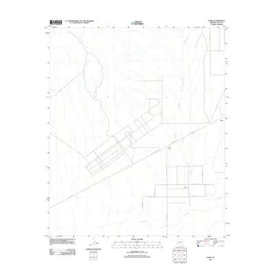
2011 Map of Horn
USGS Topo · Published 2011About this map
Horn and the surrounding agricultural landscape in Yuma County appear here as they were structured in the early twenty-first century. The southern portion of the quadrangle is defined by the Gila River and the braided drainage of Hoodoo Wash, which cuts through a grid of rural roads and irrigation-dependent fields. The localized economy of this arid region is anchored by the Horn Cotton Gin, situated along Dateland Ranch Rd, reflecting the importance of industrial cotton processing to the local community.
Find a feature on this map
16 named features on this map. Tap any name to fly to it.
Don’t see what you’re looking for? This feature index may not catch every label — zoom into the map to look around manually.
Map Details
Editions of this 2011 Horn Map
This is the sole edition of this map. No revisions or reprints were ever made.
Other maps of this area

1927 · Hyder
USGS Topo · 1:62,500

1929 · Aztec
USGS Topo · 1:62,500

1930 · Stoval
USGS Topo · 1:62,500

1930 · Hyder
USGS Topo · 1:62,500

1942 · Vicksburg
USGS Topo · 1:250,000

1950 · Stoval
USGS Topo · 1:62,500

1950 · Aztec
USGS Topo · 1:62,500

1953 · Ajo
USGS Topo · 1:250,000

1954 · Phoenix
USGS Topo · 1:250,000

1957 · Ajo
USGS Topo · 1:250,000