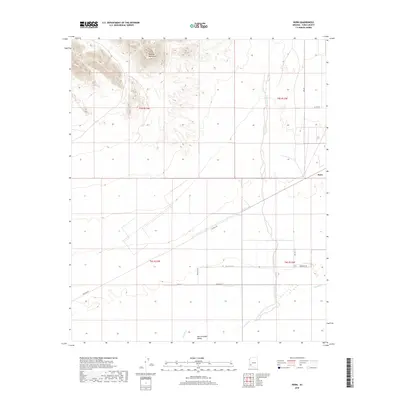
2018 Map of Horn
USGS Topo · Published 2018About this map
The Gila River corridor defines this portion of Yuma County, marking a stark transition between the elevated Palomas Mountains in the northwest and the flat expanse of the San Cristobal Valley to the south. The small settlement of Horn is situated near the railroad and local road network, where the natural drainage of Hoodoo Wash intersects the agricultural and desert landscape. This 2018 survey illustrates a region where modern infrastructure like Palomas Rd and Andersen Rd navigates the ancient path of the river. The grid-like division of township lines, including t5s r13w and t6s r12w, reflects the systematic organization of this arid terrain, highlighting the sparse but vital connection between water sources and human habitation in the Arizona desert.
Find a feature on this map
18 named features on this map. Tap any name to fly to it.
Don’t see what you’re looking for? This feature index may not catch every label — zoom into the map to look around manually.
Map Details
Editions of this 2018 Horn Map
This is the sole edition of this map. No revisions or reprints were ever made.
Other maps of this area

1927 · Hyder
USGS Topo · 1:62,500

1929 · Aztec
USGS Topo · 1:62,500

1930 · Stoval
USGS Topo · 1:62,500

1930 · Hyder
USGS Topo · 1:62,500

1942 · Vicksburg
USGS Topo · 1:250,000

1950 · Stoval
USGS Topo · 1:62,500

1950 · Aztec
USGS Topo · 1:62,500

1953 · Ajo
USGS Topo · 1:250,000

1954 · Phoenix
USGS Topo · 1:250,000

1957 · Ajo
USGS Topo · 1:250,000