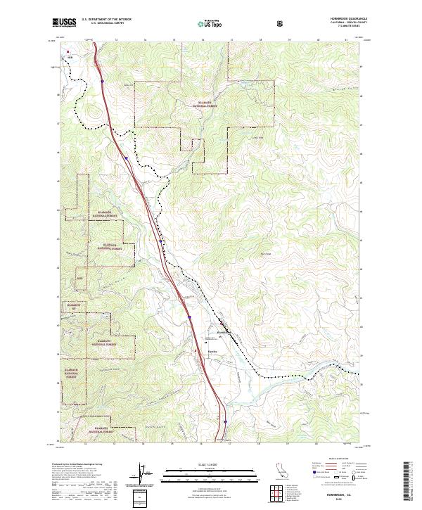
2022 Map of Hornbrook
USGS Topo · Published 2022About this map
Hornbrook and the nearby settlement of Henley serve as the primary hubs in this section of Siskiyou County, situated along the corridor where the Klamath River carves through the landscape. The geography is defined by a dense network of gulches and peaks, including Horn Peak and Bailey Hill, which transition into the protected lands of the Klamath National Forest. A notable concentration of local history is found at the Henley and Hornbrook Cem, reflecting the area's long-standing community roots.
Find a feature on this map
64 named features on this map. Tap any name to fly to it.
Don’t see what you’re looking for? This feature index may not catch every label — zoom into the map to look around manually.
Map Details
Editions of this 2022 Hornbrook Map
This is the sole edition of this map. No revisions or reprints were ever made.
Other maps of this area

1886 · Shasta
USGS Topo · 1:250,000

1891 · Ashland
USGS Topo · 1:250,000

1893 · Ashland
USGS Topo · 1:250,000

1894 · Shasta
USGS Topo · 1:250,000

1897 · Ashland
USGS Topo · 1:250,000

1922 · Shasta Valley Sheet No 15
USGS Topo · 1:24,000

1922 · Shasta Valley Sheet No 14
USGS Topo · 1:24,000

1932 · Yreka
USGS Topo · 1:96,000

1934 · Macdoel
USGS Topo · 1:96,000

1938 · Medford
USGS Topo · 1:125,000