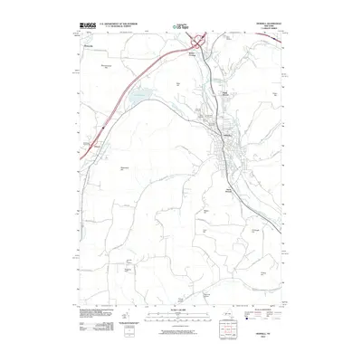
2010 Map of Hornell
USGS Topo · Published 2010About this map
The Canisteo River and Canacadea Creek valley defines the orientation of this Steuben County landscape, where the city of Hornell serves as a central hub. Settlement patterns follow the valley floors and the winding paths of the surrounding uplands, including Pennsylvania Hill and Tobes Hill. The map reveals a dense concentration of burial sites and religious landmarks, such as Saint Anns Cemetery, Hope Cemetery, and the Temple Beth El Cemetery, which provide significant points of interest for local genealogy. To the west, the reservoir at Almond Lake and the smaller village of Almond anchor the Canacadea valley. Transport corridors like Webbs Crossing Rd and the Canisteo River highlight the historical movement through the region, connecting smaller communities like Bishopville and South Hornell to the urban core.
Find a feature on this map
74 named features on this map. Tap any name to fly to it.
Don’t see what you’re looking for? This feature index may not catch every label — zoom into the map to look around manually.
Map Details
Editions of this 2010 Hornell Map
This is the sole edition of this map. No revisions or reprints were ever made.
Other maps of this area

1915 · Hornell
USGS Topo · 1:62,500

1916 · Canaseraga
USGS Topo · 1:62,500

1918 · Hornell
USGS Topo · 1:62,500

1926 · Wellsville
USGS Topo · 1:62,500

1926 · Greenwood
USGS Topo · 1:62,500

1940 · Canaseraga
USGS Topo · 1:62,500

1950 · Elmira
USGS Topo · 1:250,000

1954 · South Canisteo
USGS Topo · 1:24,000
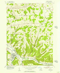
1954 · Canisteo
USGS Topo · 1:24,000

1958 · Elmira
USGS Topo · 1:250,000