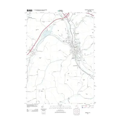
2013 Map of Hornell
USGS Topo · Published 2013About this map
Hornell serves as the regional hub for this part of Steuben County, situated at the confluence of the Canisteo River and several tributary runs. The landscape is defined by its prominent hills, including Pennsylvania Hill, Newcomb Hill, and Ashbaugh Hill, which dictate the winding paths of the valley roads. This 2013 survey illustrates a modern transportation network centered on the intersection of the Canisteo River and Canacadea Creek, showing the city's dense street grid and its connection to outlying settlements like North Hornell, South Hornell, and Webbs Crossing.
Find a feature on this map
178 named features on this map. Tap any name to fly to it.
Don’t see what you’re looking for? This feature index may not catch every label — zoom into the map to look around manually.
Map Details
Editions of this 2013 Hornell Map
This is the sole edition of this map. No revisions or reprints were ever made.
Other maps of this area

1915 · Hornell
USGS Topo · 1:62,500

1916 · Canaseraga
USGS Topo · 1:62,500

1918 · Hornell
USGS Topo · 1:62,500

1926 · Wellsville
USGS Topo · 1:62,500

1926 · Greenwood
USGS Topo · 1:62,500

1940 · Canaseraga
USGS Topo · 1:62,500

1950 · Elmira
USGS Topo · 1:250,000

1954 · South Canisteo
USGS Topo · 1:24,000
1954 · Canisteo
USGS Topo · 1:24,000

1958 · Elmira
USGS Topo · 1:250,000