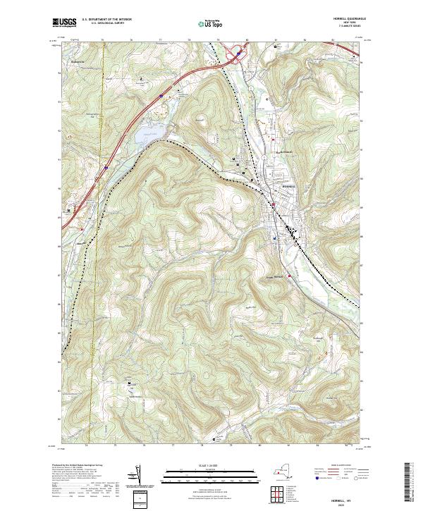
2023 Map of Hornell
USGS Topo · Published 2023About this map
Hornell serves as the industrial and population hub of this region, situated at the confluence of several significant waterways including the Canisteo River and Canacadea Creek. The city's grid, featuring streets like East Ave and Greeley Ave, is flanked by several smaller residential areas including North Hornell and South Hornell. The landscape is defined by its deep valley settlement patterns and the high ridges of Pennsylvania Hill, Newcomb Hill, and Tobes Hill that rise sharply from the riverbanks.
Find a feature on this map
129 named features on this map. Tap any name to fly to it.
Don’t see what you’re looking for? This feature index may not catch every label — zoom into the map to look around manually.
Map Details
Editions of this 2023 Hornell Map
This is the sole edition of this map. No revisions or reprints were ever made.
Other maps of this area

1915 · Hornell
USGS Topo · 1:62,500

1916 · Canaseraga
USGS Topo · 1:62,500

1918 · Hornell
USGS Topo · 1:62,500

1926 · Wellsville
USGS Topo · 1:62,500

1926 · Greenwood
USGS Topo · 1:62,500

1940 · Canaseraga
USGS Topo · 1:62,500

1950 · Elmira
USGS Topo · 1:250,000

1954 · South Canisteo
USGS Topo · 1:24,000
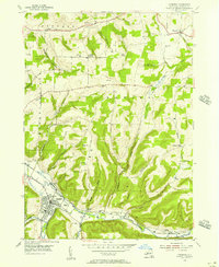
1954 · Canisteo
USGS Topo · 1:24,000

1958 · Elmira
USGS Topo · 1:250,000