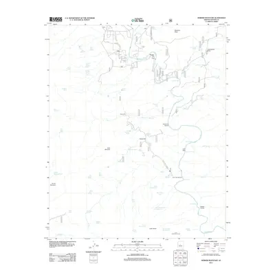
2012 Map of Horner Mountain
USGS Topo · Published 2012About this map
The Verde River carves a central path through this Yavapai County landscape, creating a complex corridor of rapids and riparian flats. Near Beasley Flat, the river's character is defined by named features like Turkey Gobbler Rapid and The Falls, reflecting the transition between high mesas and the river valley. The uplands are marked by massive geological formations including Wingfield Mesa and the volcanic prominence of Table Mountain.
Find a feature on this map
70 named features on this map. Tap any name to fly to it.
Don’t see what you’re looking for? This feature index may not catch every label — zoom into the map to look around manually.
Map Details
Editions of this 2012 Horner Mountain Map
This is the sole edition of this map. No revisions or reprints were ever made.
Other maps of this area

1887 · Verde
USGS Topo · 1:250,000

1892 · Verde
USGS Topo · 1:250,000

1923 · Camp Verde
USGS Topo · 1:125,000

1929 · Turret Peak
USGS Topo · 1:125,000

1932 · Camp Verde
USGS Topo · 1:125,000

1933 · Turret Peak
USGS Topo · 1:125,000

1936 · Camp Verde
USGS Topo · 1:125,000

1954 · Holbrook
USGS Topo · 1:250,000

1957 · Holbrook
USGS Topo · 1:250,000

1958 · Holbrook
USGS Topo · 1:250,000