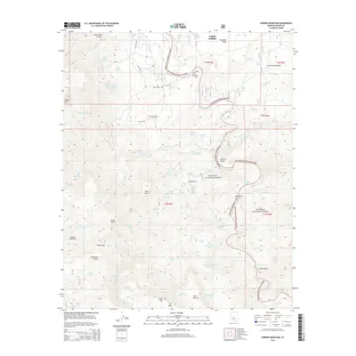
2014 Map of Horner Mountain
USGS Topo · Published 2014About this map
Beasley Flat and the edges of Camp Verde define the settled corridors of this Arizona landscape, where the high desert meets the canyons of the Verde Rim. The terrain is shaped by dramatic elevations, from the broad expanse of Wingfield Mesa to the prominent heights of Horner Mountain and Table Mtn. Water remains a central element of the map's geography, with numerous springs and tanks such as Cottonwood Spring, Verde Tank, and Goat Camp Spring dotting the drainages. The Prescott National Forest and Coconino National Forest cover significant portions of the quadrangle, illustrating the public land boundaries that have preserved this area's character. Traces of local history are found in family-named landmarks and remote spots like Gospel Hollow and Horner Gulch, while river features like The Falls and Pre-Falls Rapid mark the course of the local waterways.
Find a feature on this map
78 named features on this map. Tap any name to fly to it.
Don’t see what you’re looking for? This feature index may not catch every label — zoom into the map to look around manually.
Map Details
Editions of this 2014 Horner Mountain Map
This is the sole edition of this map. No revisions or reprints were ever made.
Other maps of this area

1887 · Verde
USGS Topo · 1:250,000

1892 · Verde
USGS Topo · 1:250,000

1923 · Camp Verde
USGS Topo · 1:125,000

1929 · Turret Peak
USGS Topo · 1:125,000

1932 · Camp Verde
USGS Topo · 1:125,000

1933 · Turret Peak
USGS Topo · 1:125,000

1936 · Camp Verde
USGS Topo · 1:125,000

1954 · Holbrook
USGS Topo · 1:250,000

1957 · Holbrook
USGS Topo · 1:250,000

1958 · Holbrook
USGS Topo · 1:250,000