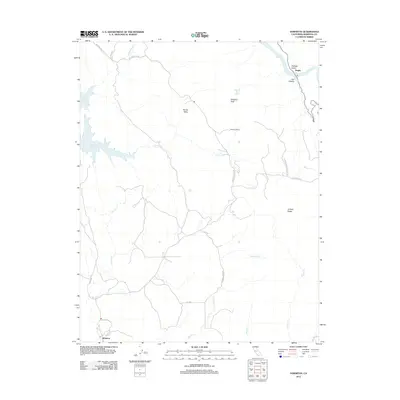
2012 Map of Hornitos
USGS Topo · Published 2012About this map
Hornitos serves as the primary settlement on this Mariposa County sheet, located at the intersection of St Catherine St and Wilson St, where a Po indicates the continued importance of the local post office. The landscape is defined by the winding drainages of Hornitos Cr and Burns Cr, which flow through a region marked by significant elevation changes, including Williams Peak and the high ground of Juniper Ridge.
Find a feature on this map
29 named features on this map. Tap any name to fly to it.
Don’t see what you’re looking for? This feature index may not catch every label — zoom into the map to look around manually.
Map Details
Editions of this 2012 Hornitos Map
This is the sole edition of this map. No revisions or reprints were ever made.
Other maps of this area

1893 · Sonora
USGS Topo · 1:125,000

1896 · Sonora
USGS Topo · 1:125,000

1897 · Sonora
USGS Topo · 1:125,000

1898 · Sonora
USGS Topo · 1:125,000

1916 · Merced Falls
USGS Topo · 1:24,000

1919 · Indian Gulch
USGS Topo · 1:48,000

1919 · Haystack Mountain
USGS Topo · 1:31,680

1919 · Merced Falls
USGS Topo · 1:31,680

1920 · Indian Gulch
USGS Topo · 1:62,500

1944 · Merced Falls
USGS Topo · 1:62,500