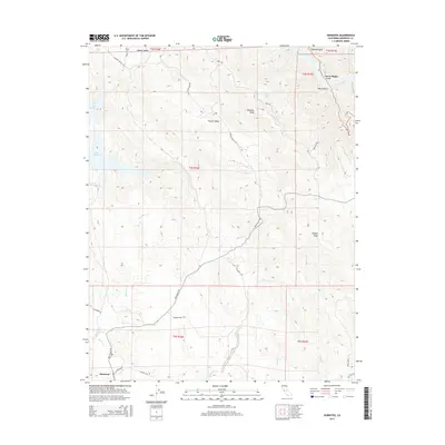
2015 Map of Hornitos
USGS Topo · Published 2015About this map
Hornitos anchors the southwestern corner of this Mariposa County landscape, where the Sierra Nevada foothills meet a complex network of seasonal drainages and ridge lines. The settlement, established during the Gold Rush era, serves as a focal point for historic routes including Bear Valley Rd and St Catherine St. To the north, the terrain rises toward Williams Peak and the high country of Hunter Valley, while the western edge is defined by the inlets of Lake McClure. The map traces a rugged geography shaped by water, from the deep incision of Hell Hollow near Flyaway Gulch in the northeast to the sprawling creek beds of Hornitos Cr and Burns Cr. This 2015 survey reflects the enduring rural character of the region, documenting the interface between public lands and the winding paths of the Old Toll Rd and Mt Gaines Rd.
Find a feature on this map
35 named features on this map. Tap any name to fly to it.
Don’t see what you’re looking for? This feature index may not catch every label — zoom into the map to look around manually.
Map Details
Editions of this 2015 Hornitos Map
This is the sole edition of this map. No revisions or reprints were ever made.
Other maps of this area
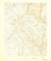
1893 · Sonora
USGS Topo · 1:125,000
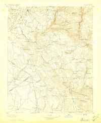
1896 · Sonora
USGS Topo · 1:125,000
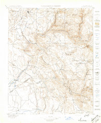
1897 · Sonora
USGS Topo · 1:125,000
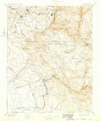
1898 · Sonora
USGS Topo · 1:125,000
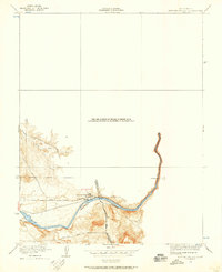
1916 · Merced Falls
USGS Topo · 1:24,000
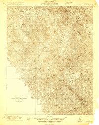
1919 · Indian Gulch
USGS Topo · 1:48,000
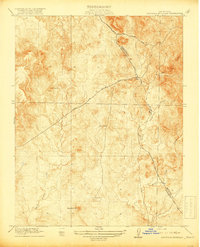
1919 · Haystack Mountain
USGS Topo · 1:31,680
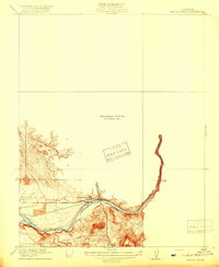
1919 · Merced Falls
USGS Topo · 1:31,680
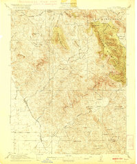
1920 · Indian Gulch
USGS Topo · 1:62,500
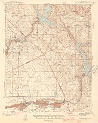
1944 · Merced Falls
USGS Topo · 1:62,500