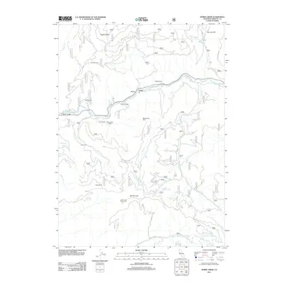
2012 Map of Horse Creek
USGS Topo · Published 2012About this map
The Klamath River carves a deep valley through this Siskiyou County landscape, where small settlements like Horse Creek and Oakbar occupy the narrow riverside flats. The terrain is defined by steep ridges and gulches, including Buckhorn Ridge and Chase Gulch, which drop sharply toward the water. Historically significant sites for mining and industry are situated throughout the uplands, notably the K C Mine Camp and Jensen Mill. Remote structures such as Whites Cabin and the Maplesden Ranch hint at the rural ranching and residential patterns in the mountains north of the river. Higher elevations are marked by landmarks like Bald Mountain and Little Baldy, with the Collins Creek Baldy Lookout providing a strategic vantage point over the complex network of creeks, including Collins Cr and McKinney Cr, that drain the surrounding wilderness.
Find a feature on this map
79 named features on this map. Tap any name to fly to it.
Don’t see what you’re looking for? This feature index may not catch every label — zoom into the map to look around manually.
Map Details
Editions of this 2012 Horse Creek Map
This is the sole edition of this map. No revisions or reprints were ever made.
Other maps of this area
1886 · Shasta
USGS Topo · 1:250,000
1894 · Shasta
USGS Topo · 1:250,000
1914 · Seiad
USGS Topo · 1:125,000
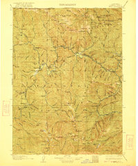
1922 · Seiad
USGS Topo · 1:125,000
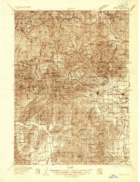
1932 · Yreka
USGS Topo · 1:96,000
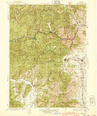
1939 · Yreka
USGS Topo · 1:125,000
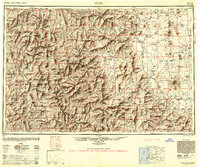
1948 · Weed
USGS Topo · 1:250,000
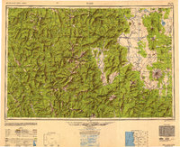
1950 · Weed
USGS Topo · 1:250,000
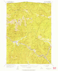
1955 · Seiad Valley
USGS Topo · 1:62,500
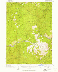
1955 · Condrey Mtn
USGS Topo · 1:62,500