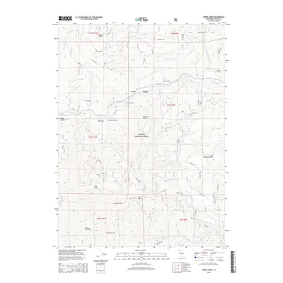
2015 Map of Horse Creek
USGS Topo · Published 2015About this map
The Klamath River carves a deep valley through the Klamath National Forest, serving as the central artery for the small riverside settlements of Oak Bar and Horse Creek. This survey captures the distinct landscape of Northern California, where high peaks like Little Baldy and Bald Mtn overlook a complex network of steep gulches and ridges. The human footprint here is defined by resource extraction and rugged access, evidenced by Tailings near the riverbanks and a web of named forest routes such as Hog Maple and the Jeep Doggett Tie. Local geography is marked by family-named landmarks and watercourses, including Buckhorn Ridge and Doggett Cr, which flow toward the Klamath from the surrounding mountains. The map illustrates the specialized infrastructure of the region, from the McKinney Crossing to the high-elevation reaches of the Siskiyou Summit.
Find a feature on this map
52 named features on this map. Tap any name to fly to it.
Don’t see what you’re looking for? This feature index may not catch every label — zoom into the map to look around manually.
Map Details
Editions of this 2015 Horse Creek Map
This is the sole edition of this map. No revisions or reprints were ever made.
Other maps of this area

1886 · Shasta
USGS Topo · 1:250,000

1894 · Shasta
USGS Topo · 1:250,000

1914 · Seiad
USGS Topo · 1:125,000

1922 · Seiad
USGS Topo · 1:125,000

1932 · Yreka
USGS Topo · 1:96,000

1939 · Yreka
USGS Topo · 1:125,000

1948 · Weed
USGS Topo · 1:250,000

1950 · Weed
USGS Topo · 1:250,000

1955 · Seiad Valley
USGS Topo · 1:62,500

1955 · Condrey Mtn
USGS Topo · 1:62,500