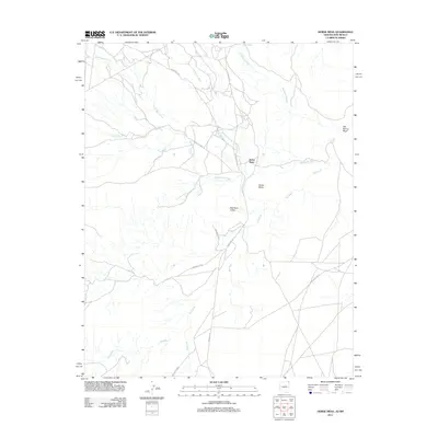
2011 Map of Horse Mesa
USGS Topo · Published 2011About this map
Red Rock Valley and the prominent rising terrain of Horse Mesa dominate this landscape, characterized by a complex network of seasonal drainage channels. The area's geography is defined by significant watercourses including Horse Mesa Creek, Blackrock Wash, and the extensive Red Wash, which carve through the arid floor. These natural features dictated the placement of local infrastructure, as seen in the alignment of Indian Rte 63 and Indian Rte 5024 which follow the contours of the valley and mesa base.
Find a feature on this map
16 named features on this map. Tap any name to fly to it.
Don’t see what you’re looking for? This feature index may not catch every label — zoom into the map to look around manually.
Map Details
Editions of this 2011 Horse Mesa Map
This is the sole edition of this map. No revisions or reprints were ever made.
Other maps of this area

1889 · Chaco
USGS Topo · 1:250,000

1892 · Chaco
USGS Topo · 1:250,000

1892 · Canyon De Chelly
USGS Topo · 1:250,000

1934 · Ship Rock
USGS Topo · 1:62,500

1934 · Rattlesnake
USGS Topo · 1:62,500

1937 · Ship Rock
USGS Topo · 1:62,500

1937 · Rattlesnake
USGS Topo · 1:62,500

1953 · Redrock Valley NE
USGS Topo · 1:24,000

1953 · Pastora Peak SW
USGS Topo · 1:24,000

1953 · Redrock Valley SE
USGS Topo · 1:24,000