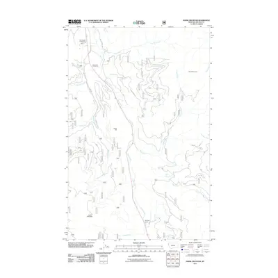
2011 Map of Horse Mountain
USGS Topo · Published 2011About this map
Horse Mountain and the surrounding drainage basins of the Kootenai National Forest define this landscape in the early twenty-first century. This terrain is characterized by a dense network of watercourses and forest service infrastructure, where Libby Creek and Swamp Creek carve significant valleys through the highland topography. The map illustrates a region managed for both timber and recreation, as evidenced by the proximity of the Paul Bunyan Campground and Libby Creek Campground near the confluence of local tributaries.
Find a feature on this map
24 named features on this map. Tap any name to fly to it.
Don’t see what you’re looking for? This feature index may not catch every label — zoom into the map to look around manually.
Map Details
Editions of this 2011 Horse Mountain Map
This is the sole edition of this map. No revisions or reprints were ever made.
Other maps of this area

1920 · Libby
USGS Topo · 1:125,000

1920 · Jennings
USGS Topo · 1:125,000

1930 · Libby
USGS Topo · 1:125,000

1932 · Libby
USGS Topo · 1:125,000

1935 · Thompson Lakes
USGS Topo · 1:96,000

1942 · Thompson Lakes
USGS Topo · 1:125,000

1957 · Kalispell
USGS Topo · 1:250,000

1960 · Kalispell
USGS Topo · 1:250,000

1961 · Kalispell
USGS Topo · 1:250,000

1963 · Swede Mountain
USGS Topo · 1:24,000