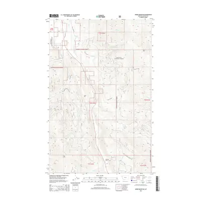
2014 Map of Horse Mountain
USGS Topo · Published 2014About this map
Kootenai National Forest blankets this high-elevation stretch of Lincoln County, defined by a complex network of drainage basins and prominent ridges. The terrain is structured by major watercourses such as Libby Cr, Swamp Cr, and Cowell Cr, which carve through the landscape between significant peaks like Horse Mtn and Brush Mtn. This 2014 survey reveals a land managed for both conservation and transit, with Farm To Market Rd and Libby Creek Rd providing essential access through the timbered foothills.
Find a feature on this map
29 named features on this map. Tap any name to fly to it.
Don’t see what you’re looking for? This feature index may not catch every label — zoom into the map to look around manually.
Map Details
Editions of this 2014 Horse Mountain Map
This is the sole edition of this map. No revisions or reprints were ever made.
Other maps of this area

1920 · Libby
USGS Topo · 1:125,000

1920 · Jennings
USGS Topo · 1:125,000

1930 · Libby
USGS Topo · 1:125,000

1932 · Libby
USGS Topo · 1:125,000

1935 · Thompson Lakes
USGS Topo · 1:96,000

1942 · Thompson Lakes
USGS Topo · 1:125,000

1957 · Kalispell
USGS Topo · 1:250,000

1960 · Kalispell
USGS Topo · 1:250,000

1961 · Kalispell
USGS Topo · 1:250,000

1963 · Swede Mountain
USGS Topo · 1:24,000