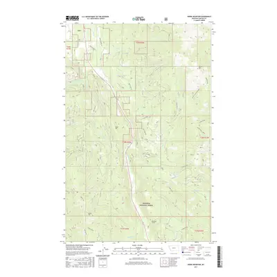
2017 Map of Horse Mountain
USGS Topo · Published 2017About this map
Kootenai National Forest dominates this section of Lincoln County, where the high ridges of Fisher Divide and Cowell Cr-McMillan Ridge define the drainage patterns of the northern Rockies. The landscape is a network of named drainages including Libby Cr, Swamp Cr, and Tepee Cr, which flows out of the high-altitude Tepee Lake. Human activity is concentrated along established corridors like Farm To Market Rd and the evocatively named Paul Bunyan Ln, reflecting the region's long-standing connection to the timber industry. Elevations reach peaks at Horse Mtn and Brush Mtn, while deep incisions like Reinhart Gulch and Leckrone Creek provide sharp relief to the surrounding forest land. This survey provides a look at the modern forest infrastructure, showing the relationship between watershed protection and the logging roads that crisscross Poker Hill.
Find a feature on this map
29 named features on this map. Tap any name to fly to it.
Don’t see what you’re looking for? This feature index may not catch every label — zoom into the map to look around manually.
Map Details
Editions of this 2017 Horse Mountain Map
This is the sole edition of this map. No revisions or reprints were ever made.
Other maps of this area

1920 · Libby
USGS Topo · 1:125,000

1920 · Jennings
USGS Topo · 1:125,000

1930 · Libby
USGS Topo · 1:125,000

1932 · Libby
USGS Topo · 1:125,000

1935 · Thompson Lakes
USGS Topo · 1:96,000

1942 · Thompson Lakes
USGS Topo · 1:125,000

1957 · Kalispell
USGS Topo · 1:250,000

1960 · Kalispell
USGS Topo · 1:250,000

1961 · Kalispell
USGS Topo · 1:250,000

1963 · Swede Mountain
USGS Topo · 1:24,000