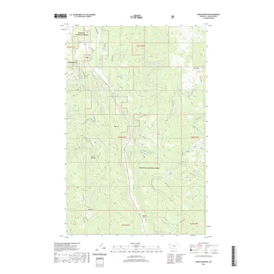
2020 Map of Horse Mountain
USGS Topo · Published 2020About this map
Libby Creek serves as the primary drainage through this corner of Northwest Montana, where the watershed defines the drainage patterns of the Kootenai National Forest. This 2020 edition provides contemporary documentation of the topographical layout, showing the northern flow of Elliot Creek and the southern reaches of Dudgen Creek. These waterways provide a clear illustration of the high-elevation divide that separates local creek systems. For researchers of land management and natural resources, the map offers a clear view of the modern forest road networks and federal land boundaries that characterize this part of Lincoln County.
Find a feature on this map
3 named features on this map. Tap any name to fly to it.
Don’t see what you’re looking for? This feature index may not catch every label — zoom into the map to look around manually.
Map Details
Editions of this 2020 Horse Mountain Map
This is the sole edition of this map. No revisions or reprints were ever made.
Other maps of this area

1920 · Libby
USGS Topo · 1:125,000

1920 · Jennings
USGS Topo · 1:125,000

1930 · Libby
USGS Topo · 1:125,000

1932 · Libby
USGS Topo · 1:125,000

1935 · Thompson Lakes
USGS Topo · 1:96,000

1942 · Thompson Lakes
USGS Topo · 1:125,000

1957 · Kalispell
USGS Topo · 1:250,000

1960 · Kalispell
USGS Topo · 1:250,000

1961 · Kalispell
USGS Topo · 1:250,000

1963 · Swede Mountain
USGS Topo · 1:24,000