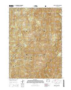
2014 Map of Horse Sign Butte
USGS Topo · Published 2014About this map
The Siskiyou National Forest dominates this section of the Klamath Mountains, where the boundary between Curry and Josephine counties runs through high-elevation terrain. This modern survey illustrates a landscape defined by sharp drainage divides and protected wilderness, centered on the prominent Horse Sign Butte and nearby Lawson Butte. The Illinois River cuts through the northeast corner of the sheet, where Collier Bar and Buzzards Roost overlook the water. A network of alpine streams, including Pine Flat Cr and Horse Sign Cr, feeds into larger river systems. In the center of the quadrangle, Game Lake provides a notable landmark amidst the ridges. While largely roadless, the presence of Nat For Dev Rd 420 in the southern portion indicates the limited reach of forest management infrastructure into this backcountry area.
Find a feature on this map
15 named features on this map. Tap any name to fly to it.
Don’t see what you’re looking for? This feature index may not catch every label — zoom into the map to look around manually.
Map Details
Editions of this 2014 Horse Sign Butte Map
This is the sole edition of this map. No revisions or reprints were ever made.
Other maps of this area

1899 · Port Orford
USGS Topo · 1:125,000

1903 · Port Orford
USGS Topo · 1:125,000

1917 · Kerby
USGS Topo · 1:125,000

1918 · Kerby
USGS Topo · 1:125,000

1945 · Kerby
USGS Topo · 1:125,000

1954 · Coos Bay
USGS Topo · 1:250,000

1954 · Marial
USGS Topo · 1:62,500

1954 · Collier Butte
USGS Topo · 1:62,500

1954 · Agness
USGS Topo · 1:62,500

1954 · Pearsoll Peak
USGS Topo · 1:62,500