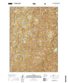
2020 Map of Horse Sign Butte
USGS Topo · Published 2020About this map
Horse Sign Butte and Lawson Butte anchor this section of the Siskiyou National Forest along the border of Curry and Josephine counties. The topography is defined by the winding course of the Illinois Wild and Scenic River, where names like Buzzards Roost and Horse Sign Creek Rapids suggest the challenging nature of the waterway. For researchers of local land use, the map traces the long path of PuppS Camp Way, which connects disparate points of interest such as Game Lake and Hurt Cabin. The landscape is a network of named drainages including Lawson Creek, Pine Flat Creek, and North Fork Collier Creek, each cutting deep into the forest. Riverside features like Collier Bar and Indian Flat provide evidence of the narrow, flat benches that once supported seasonal camps or small-scale activity within this isolated corridor.
Find a feature on this map
35 named features on this map. Tap any name to fly to it.
Don’t see what you’re looking for? This feature index may not catch every label — zoom into the map to look around manually.
Map Details
Editions of this 2020 Horse Sign Butte Map
This is the sole edition of this map. No revisions or reprints were ever made.
Other maps of this area

1899 · Port Orford
USGS Topo · 1:125,000

1903 · Port Orford
USGS Topo · 1:125,000

1917 · Kerby
USGS Topo · 1:125,000

1918 · Kerby
USGS Topo · 1:125,000

1945 · Kerby
USGS Topo · 1:125,000

1954 · Coos Bay
USGS Topo · 1:250,000

1954 · Marial
USGS Topo · 1:62,500

1954 · Collier Butte
USGS Topo · 1:62,500

1954 · Agness
USGS Topo · 1:62,500

1954 · Pearsoll Peak
USGS Topo · 1:62,500