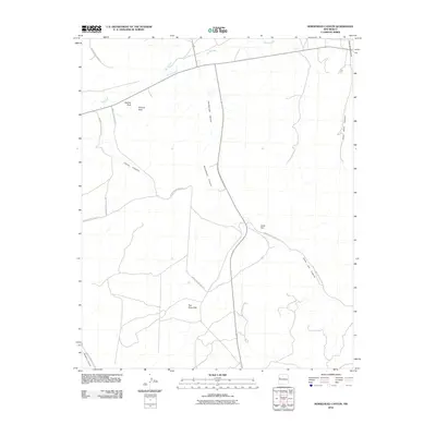
2010 Map of Horsehead Canyon
USGS Topo · Published 2010About this map
Rio Pescado and Rio Nutria converge in the northern portion of this landscape, eventually forming the Zuni River. This high-desert drainage system is defined by prominent topographical landmarks and an extensive network of Indian Service Routes that connect remote points across the terrain. These roads, such as Indian Service Route 9 and Indian Service Route 15, follow the natural contours of the land, navigating through and around massive geological features like Horsehead Canyon and Chama Canyon.
Find a feature on this map
18 named features on this map. Tap any name to fly to it.
Don’t see what you’re looking for? This feature index may not catch every label — zoom into the map to look around manually.
Map Details
Editions of this 2010 Horsehead Canyon Map
This is the sole edition of this map. No revisions or reprints were ever made.
Other maps of this area

1886 · Wingate
USGS Topo · 1:250,000

1892 · Wingate
USGS Topo · 1:250,000

1954 · Saint Johns
USGS Topo · 1:250,000

1954 · Gallup
USGS Topo · 1:250,000

1957 · Saint Johns
USGS Topo · 1:250,000

1958 · Gallup
USGS Topo · 1:250,000

1958 · Saint Johns
USGS Topo · 1:250,000

1959 · Gallup
USGS Topo · 1:250,000

1962 · Gallup
USGS Topo · 1:250,000

1962 · Saint Johns
USGS Topo · 1:250,000