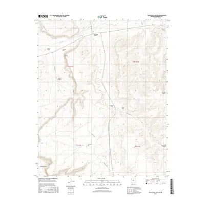
2017 Map of Horsehead Canyon
USGS Topo · Published 2017About this map
The Zuni River forms a central drainage for this section of McKinley County, where the confluence of the Rio Nutria and Rio Pescado shapes the high-desert landscape. The terrain is defined by a series of prominent geological landmarks, including the distinctive Feather Rock and Pierced Rock. Deep-cut drainages such as Horsehead Canyon and Coal Mine Canyon reveal the erosion patterns typical of this region.
Find a feature on this map
21 named features on this map. Tap any name to fly to it.
Don’t see what you’re looking for? This feature index may not catch every label — zoom into the map to look around manually.
Map Details
Editions of this 2017 Horsehead Canyon Map
This is the sole edition of this map. No revisions or reprints were ever made.
Other maps of this area

1886 · Wingate
USGS Topo · 1:250,000

1892 · Wingate
USGS Topo · 1:250,000

1954 · Saint Johns
USGS Topo · 1:250,000

1954 · Gallup
USGS Topo · 1:250,000

1957 · Saint Johns
USGS Topo · 1:250,000

1958 · Gallup
USGS Topo · 1:250,000

1958 · Saint Johns
USGS Topo · 1:250,000

1959 · Gallup
USGS Topo · 1:250,000

1962 · Gallup
USGS Topo · 1:250,000

1962 · Saint Johns
USGS Topo · 1:250,000