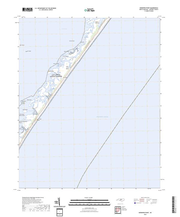
2022 Map of Horsepen Point
USGS Topo · Published 2022About this map
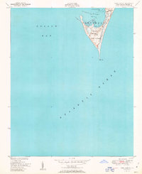
Cape Lookout National Seashore dominates this portion of the Outer Banks, where the fragile barrier island system separates the Atlantic Ocean from the expansive Core Sound. This environment is defined by a complex network of small islands and hammocks, including Horse Island, Lewis Island, and Gunning Hammock Island, which have long served as landmarks for coastal navigation and local fishing traditions.
Find a feature on this map
34 named features on this map. Tap any name to fly to it.
Don’t see what you’re looking for? This feature index may not catch every label — zoom into the map to look around manually.
Map Details
Editions of this 2022 Horsepen Point Map
This is the sole edition of this map. No revisions or reprints were ever made.
Other maps of this area

1949 · Styron Bay
USGS Topo · 1:24,000

1949 · Williston
USGS Topo · 1:24,000

1949 · Harkers Island
USGS Topo · 1:24,000

1949 · Davis
USGS Topo · 1:24,000

1950 · Horsepen Point
USGS Topo · 1:24,000

1951 · Williston
USGS Topo · 1:24,000
1951 · Davis
USGS Topo · 1:24,000
1951 · Styron Bay
USGS Topo · 1:24,000
1951 · Harkers Island
USGS Topo · 1:24,000
1951 · Cape Lookout
USGS Topo · 1:24,000