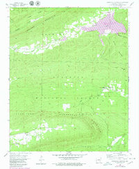
1958 Map of Horseshoe Mountain
USGS Topo · Published 1979About this map
The ridge-and-valley terrain of the Ouachita National Forest dominates this 1950s survey of western Arkansas, where small upland communities are tied together by winding creek systems. The construction of Lake Hinkle in the northeast corner has altered the local drainage of Jones Creek, though the surrounding ridges like Walker Mountain and Brawley Mountain remain largely untouched.
Find a feature on this map
32 named features on this map. Tap any name to fly to it.
Don’t see what you’re looking for? This feature index may not catch every label — zoom into the map to look around manually.
Map Details
Editions of this 1958 Horseshoe Mountain Map
2 editions found
Other maps of this area

1879 · Poteau Mountain
USGS Topo · 1:62,500

1887 · Poteau Mountain #1
USGS Topo · 1:62,500

1887 · Poteau Mountain #2
USGS Topo · 1:62,500

1890 · Poteau Mountain
USGS Topo · 1:125,000

1899 · Poteau Mountain
USGS Topo · 1:125,000

1939 · Waldron
USGS Topo · 1:62,500

1940 · Waldron
USGS Topo · 1:62,500

1941 · Waldron
USGS Topo · 1:62,500

1949 · Waldron
USGS Topo · 1:62,500

1950 · Mcalester
USGS Topo · 1:250,000