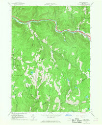
1965 Map of Horton
USGS Topo · Published 1968About this map
The Beaver Kill river corridor serves as the primary artery through this portion of the Catskills, where small hamlets like Horton and Peakville are situated along the valley floor. In the mid-1960s, this landscape was defined by its transition from agricultural valley pockets to protected wilderness, evidenced by the extensive Catskill State Park and State Forest Preserve boundaries. The map documents an era of infrastructure modernization, specifically noting the highway segments under construction alongside the river.
Find a feature on this map
58 named features on this map. Tap any name to fly to it.
Don’t see what you’re looking for? This feature index may not catch every label — zoom into the map to look around manually.
Map Details
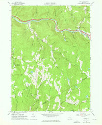
Editions of this 1965 Horton Map
2 editions found
Other maps of this area

1920 · Long Eddy
USGS Topo · 1:62,500

1921 · Long Eddy
USGS Topo · 1:48,000

1921 · Livingston Manor
USGS Topo · 1:62,500

1922 · Andes
USGS Topo · 1:62,500

1923 · Long Eddy
USGS Topo · 1:62,500

1923 · Walton
USGS Topo · 1:48,000

1923 · Livingston Manor
USGS Topo · 1:62,500

1924 · Andes
USGS Topo · 1:62,500

1925 · Walton
USGS Topo · 1:62,500

1943 · Honesdale
USGS Topo · 1:125,000