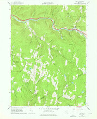
1965 Map of Horton
USGS Topo · Published 1976About this map
Beaver Kill flows across the northern reaches of this Delaware County landscape, carving a valley that hosts the primary settlements and transportation corridors of the mid-1960s. The map captures the quiet transition of small hamlets like Horton and Peakville, where local infrastructure including a Landing Strip and Quarries reflect a mixture of recreation and light industry. To the south, the terrain rises into the Catskill State Park, where winding roads such as Milk Road and Eminence Road connect family-named homesteads and secluded features like Basket Pond and Deer Lake. Genealogists will find particular value in the documentation of the Rock Valley Ch and various Cem locations scattered near Goulds and Burnwood. The presence of Camp Manitou and the extensive State Forest Preserve lands underscores the region's enduring character as a protected woodland retreat.
Find a feature on this map
81 named features on this map. Tap any name to fly to it.
Don’t see what you’re looking for? This feature index may not catch every label — zoom into the map to look around manually.
Map Details
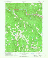
Editions of this 1965 Horton Map
2 editions found
Other maps of this area

1920 · Long Eddy
USGS Topo · 1:62,500

1921 · Long Eddy
USGS Topo · 1:48,000

1921 · Livingston Manor
USGS Topo · 1:62,500

1922 · Andes
USGS Topo · 1:62,500

1923 · Long Eddy
USGS Topo · 1:62,500

1923 · Walton
USGS Topo · 1:48,000

1923 · Livingston Manor
USGS Topo · 1:62,500

1924 · Andes
USGS Topo · 1:62,500

1925 · Walton
USGS Topo · 1:62,500

1943 · Honesdale
USGS Topo · 1:125,000