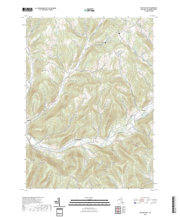
2023 Map of Walton East
USGS Topo · Published 2023About this map
The West Branch Delaware River carves a deep valley through this corner of the Catskills, anchoring the settlements of Walton, Colchester, and Hawleys. The landscape is defined by its dramatic verticality, where prominent peaks like Mount Holly and Colchester Mountain rise above a complex network of tributary-fed hollows. These secluded valleys, including Feak Hollow and Chambers Hollow, have served as isolated homestead sites and small farming enclaves for generations.
Find a feature on this map
82 named features on this map. Tap any name to fly to it.
Don’t see what you’re looking for? This feature index may not catch every label — zoom into the map to look around manually.
Map Details
Editions of this 2023 Walton East Map
This is the sole edition of this map. No revisions or reprints were ever made.
Other maps of this area

1909 · Delhi
USGS Topo · 1:62,500

1911 · Delhi
USGS Topo · 1:62,500

1915 · Oneonta
USGS Topo · 1:62,500

1918 · Oneonta
USGS Topo · 1:62,500

1922 · Andes
USGS Topo · 1:62,500

1923 · Walton
USGS Topo · 1:48,000

1924 · Andes
USGS Topo · 1:62,500

1925 · Walton
USGS Topo · 1:62,500

1943 · Delhi
USGS Topo · 1:24,000

1943 · Franklin
USGS Topo · 1:24,000