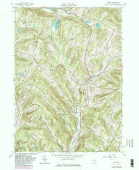
1965 Map of Andes
USGS Topo · Published 1982About this map
Andes serves as the central hub of this Catskill Mountain landscape, situated at the junction of several prominent valley roads. The 1960s terrain is defined by a series of steep ridges and hollows, including Ding Le Hill and Grays Mountain, where dairy farming and timber interests shaped the early road network. Evidence of the region's transport history is visible in the Old Tremper Railroad Grade, which follows the winding path of the Tremper Kill through the southern portion of the quadrangle.
Find a feature on this map
36 named features on this map. Tap any name to fly to it.
Don’t see what you’re looking for? This feature index may not catch every label — zoom into the map to look around manually.
Map Details
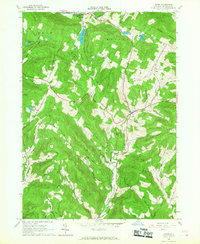
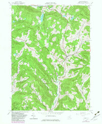
Editions of this 1965 Andes Map
3 editions found
Other maps of this area

1901 · Margaretville
USGS Topo · 1:62,500

1904 · Hobart
USGS Topo · 1:62,500

1904 · Margaretville
USGS Topo · 1:62,500

1909 · Delhi
USGS Topo · 1:62,500

1911 · Delhi
USGS Topo · 1:62,500

1922 · Andes
USGS Topo · 1:62,500

1924 · Andes
USGS Topo · 1:62,500

1943 · Delhi
USGS Topo · 1:24,000

1943 · Bloomville
USGS Topo · 1:24,000
1945 · Arena
USGS Topo · 1:24,000