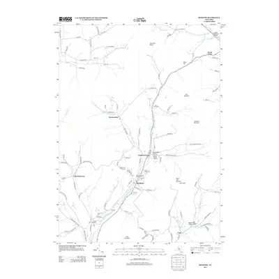
2013 Map of Roxbury
USGS Topo · Published 2013About this map
The E Br Delaware River carves a deep valley through the Catskill landscape of Delaware County, anchoring the village of Roxbury. This survey reflects a landscape defined by traditional rural settlements like West Settlement, Grand Gorge, and Vega, while also documenting modern recreation and infrastructure. Significant genealogical data is preserved through numerous family and community burial grounds, including the Decker Cem, Roxbury Village Cem, and the Yellow Church Cem near the Stratton Falls area. The topographic detail highlights the significant relief of the surrounding peaks, such as Irish Mountain and Schultice Mountain, which hem in the narrow hollows. These valleys, including Montgomery Hollow and Moffit Settlement Hollow, maintain the historical road networks and small-scale agriculture that have characterized this portion of New York for generations.
Find a feature on this map
103 named features on this map. Tap any name to fly to it.
Don’t see what you’re looking for? This feature index may not catch every label — zoom into the map to look around manually.
Map Details
Editions of this 2013 Roxbury Map
This is the sole edition of this map. No revisions or reprints were ever made.
Other maps of this area

1900 · Phoenicia
USGS Topo · 1:62,500

1901 · Margaretville
USGS Topo · 1:62,500

1901 · Gilboa
USGS Topo · 1:62,500

1903 · Gilboa
USGS Topo · 1:62,500

1903 · Phoenicia
USGS Topo · 1:62,500

1904 · Hobart
USGS Topo · 1:62,500

1904 · Margaretville
USGS Topo · 1:62,500

1945 · West Kill
USGS Topo · 1:24,000

1945 · Gilboa
USGS Topo · 1:24,000

1945 · Fleischmanns
USGS Topo · 1:24,000