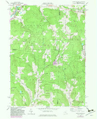
1965 Map of North Sanford
USGS Topo · Published 1983About this map
Oquaga Creek State Park sits at the heart of this mid-1960s landscape, illustrating the intersection of New York's state forest systems and small rural communities. The map details a region defined by its high ridges and narrow creek valleys, where agricultural clearings share space with the Afton State Forest and Michigan Hill State Forest. Small settlements like North Sanford and China anchor the road network, while the northern edge is marked by the Susquehanna River near Middle Bridge. Genealogists will find several burial sites including Beech Hill Cem and Anthony Cem, along with landmarks like the Camp Amahami girl scout camp. The terrain is dotted with numerous industrial footprints, notably the Quarries and sand pits that underscore the local extractive economy during this era of post-war development.
Find a feature on this map
72 named features on this map. Tap any name to fly to it.
Don’t see what you’re looking for? This feature index may not catch every label — zoom into the map to look around manually.
Map Details
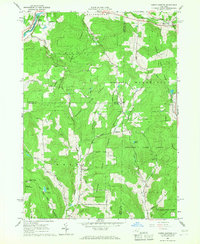
Editions of this 1965 North Sanford Map
2 editions found
Other maps of this area

1902 · Coventry
USGS Topo · 1:62,500

1904 · Oxford
USGS Topo · 1:62,500

1905 · Nineveh
USGS Topo · 1:62,500

1915 · Unadilla
USGS Topo · 1:62,500

1918 · Unadilla
USGS Topo · 1:62,500

1924 · Deposit
USGS Topo · 1:62,500

1926 · Deposit
USGS Topo · 1:62,500

1943 · Sidney
USGS Topo · 1:24,000
1943 · Unadilla
USGS Topo · 1:24,000

1944 · Deposit
USGS Topo · 1:62,500