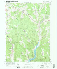
1965 Map of Trout Creek
USGS Topo · Published 1976About this map
The Cannonsville Reservoir dominates the southeastern terrain of this 1960s survey, marking a significant transformation of the Delaware County landscape. As part of the City of New York Water Supply Reservation, the flooding of the valley floor reshaped local geography, visible here near the Trout Creek Bridge. To the north and west, the map shows a network of upland hamlets including Masonville, Ivanhoe, and Tacoma, connected by historic routes like Steam Mill Road and Gifford Road. The region is defined by heavy forestation, specifically the Masonville State Forest and Delaware State Forest, which cover the high ridges of Randell Hill and Clabber Peak. Genealogists will find value in the specific locations of the Austin Cem and Carroll Cem, as well as established community sites like the Brace Youth Camp.
Find a feature on this map
50 named features on this map. Tap any name to fly to it.
Don’t see what you’re looking for? This feature index may not catch every label — zoom into the map to look around manually.
Map Details
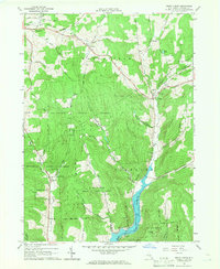
Editions of this 1965 Trout Creek Map
2 editions found
Other maps of this area

1915 · Oneonta
USGS Topo · 1:62,500

1915 · Unadilla
USGS Topo · 1:62,500

1918 · Unadilla
USGS Topo · 1:62,500

1918 · Oneonta
USGS Topo · 1:62,500

1923 · Walton
USGS Topo · 1:48,000

1924 · Deposit
USGS Topo · 1:62,500

1925 · Walton
USGS Topo · 1:62,500

1926 · Deposit
USGS Topo · 1:62,500

1943 · Sidney
USGS Topo · 1:24,000

1943 · Franklin
USGS Topo · 1:24,000