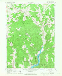
1965 Map of Trout Creek
USGS Topo · Published 1966About this map
Cannonsville Reservoir dominates the southern reaches of this landscape, its waters contained within the City of New York Water Supply Reservation Boundary. The reservoir's presence fundamentally altered the valley of the East Branch, marking a significant era of water infrastructure development in Delaware County. To the north, the terrain transitions into the dense woodlands of the Delaware State Forest, where numerous hollows such as Mormon Hollow and Sherruck Hollow define the drainage patterns leading toward the West Branch Delaware River watershed.
Find a feature on this map
53 named features on this map. Tap any name to fly to it.
Don’t see what you’re looking for? This feature index may not catch every label — zoom into the map to look around manually.
Map Details
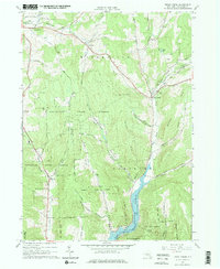
Editions of this 1965 Trout Creek Map
2 editions found
Other maps of this area

1915 · Oneonta
USGS Topo · 1:62,500

1915 · Unadilla
USGS Topo · 1:62,500

1918 · Unadilla
USGS Topo · 1:62,500

1918 · Oneonta
USGS Topo · 1:62,500

1923 · Walton
USGS Topo · 1:48,000

1924 · Deposit
USGS Topo · 1:62,500

1925 · Walton
USGS Topo · 1:62,500

1926 · Deposit
USGS Topo · 1:62,500

1943 · Sidney
USGS Topo · 1:24,000

1943 · Franklin
USGS Topo · 1:24,000