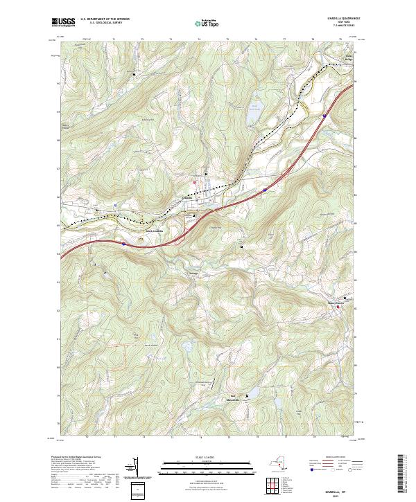
2023 Map of Unadilla
USGS Topo · Published 2023About this map
The Susquehanna River carves a deep valley through this portion of the Northern Allegheny Plateau, serving as the primary corridor for settlement and transit between Unadilla and Wells Bridge. The landscape is defined by the convergence of several major tributaries, including Ouleout Creek and Sand Hill Creek, which break up the surrounding highlands. This area preserves a dense concentration of historical burial grounds, such as Evergreen Hill Cem and Chestnut Hill Cem, often located on the high ground overlooking the river valley.
Find a feature on this map
86 named features on this map. Tap any name to fly to it.
Don’t see what you’re looking for? This feature index may not catch every label — zoom into the map to look around manually.
Map Details
Editions of this 2023 Unadilla Map
This is the sole edition of this map. No revisions or reprints were ever made.
Other maps of this area

1915 · Oneonta
USGS Topo · 1:62,500

1915 · Unadilla
USGS Topo · 1:62,500

1918 · Unadilla
USGS Topo · 1:62,500

1918 · Oneonta
USGS Topo · 1:62,500

1923 · Walton
USGS Topo · 1:48,000

1924 · Deposit
USGS Topo · 1:62,500

1925 · Walton
USGS Topo · 1:62,500

1926 · Deposit
USGS Topo · 1:62,500

1943 · Sidney
USGS Topo · 1:24,000

1943 · Gilbertsville
USGS Topo · 1:24,000