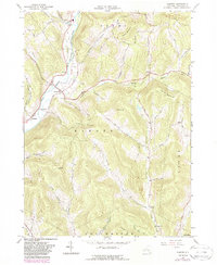
1965 Map of Hamden
USGS Topo · Published 1988About this map
The West Branch Delaware River carves a deep valley through this portion of Delaware County, defining the early settlements and transport corridors of the region. The riverside hamlets of Hamden, De Lancey, and Fraser are connected by the former route of the New York Ontario and Western RR, illustrating the valley's reliance on rail-and-water geography. A notable Covered Bridge spans the river near Hamden, serving as a rare survivor of nineteenth-century engineering amidst a landscape of steep hollows and ridges.
Find a feature on this map
67 named features on this map. Tap any name to fly to it.
Don’t see what you’re looking for? This feature index may not catch every label — zoom into the map to look around manually.
Map Details
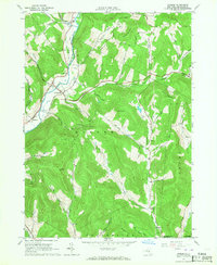
Editions of this 1965 Hamden Map
2 editions found
Other maps of this area

1909 · Delhi
USGS Topo · 1:62,500

1911 · Delhi
USGS Topo · 1:62,500

1915 · Oneonta
USGS Topo · 1:62,500

1918 · Oneonta
USGS Topo · 1:62,500

1922 · Andes
USGS Topo · 1:62,500

1923 · Walton
USGS Topo · 1:48,000

1924 · Andes
USGS Topo · 1:62,500

1925 · Walton
USGS Topo · 1:62,500

1943 · Delhi
USGS Topo · 1:24,000

1943 · Bloomville
USGS Topo · 1:24,000