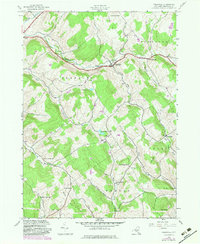
1943 Map of Treadwell
USGS Topo · Published 1983About this map
The hills and hollows of Delaware County are defined by a complex network of small rural school districts and family-named landmarks. The settlement of Treadwell serves as a central hub, situated along the valley floor where Treadwell Creek meets Roaring Brook. The geography is fragmented by prominent ridges such as Waterman Peak and Jackson Hill, which separate the various brook valleys.
Find a feature on this map
43 named features on this map. Tap any name to fly to it.
Don’t see what you’re looking for? This feature index may not catch every label — zoom into the map to look around manually.
Map Details
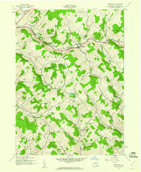
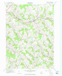
Editions of this 1943 Treadwell Map
3 editions found
Other maps of this area

1909 · Delhi
USGS Topo · 1:62,500

1911 · Delhi
USGS Topo · 1:62,500

1915 · Oneonta
USGS Topo · 1:62,500

1918 · Oneonta
USGS Topo · 1:62,500

1922 · Andes
USGS Topo · 1:62,500

1923 · Walton
USGS Topo · 1:48,000

1924 · Andes
USGS Topo · 1:62,500

1925 · Walton
USGS Topo · 1:62,500

1943 · Delhi
USGS Topo · 1:24,000

1943 · Franklin
USGS Topo · 1:24,000