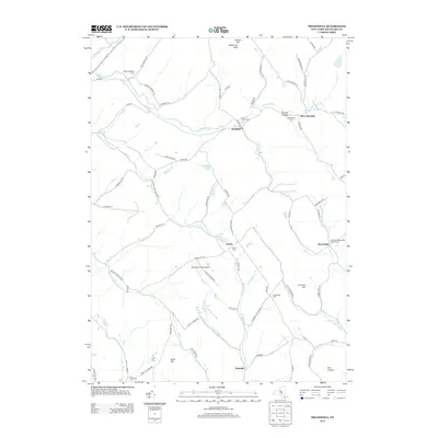
2013 Map of Treadwell
USGS Topo · Published 2013About this map
Treadwell serves as a central hub in this section of Delaware County, where the rural landscape is defined by the winding paths of Treadwell Cr and East Br Handsome Brook. The area maintains a strong agricultural and community character, evidenced by established local landmarks such as Milk And Maple Farm and Stony Creek Farm. For those researching local history or genealogy, the map provides precise locations for several burial grounds, including Croton Union Cem, Arabia Cem, and the W Delhi Presbyterian Church Cem. Small hamlets like West Delhi, West Meredith, and Arabia are connected by a network of named roads like Blue School Rd and Turnpike Rd, reflecting generations of settlement. Higher elevations like Waterman Peak and Lumbert Hill overlook a landscape dotted with small ponds and the specialized Blueberry Field Airport.
Find a feature on this map
76 named features on this map. Tap any name to fly to it.
Don’t see what you’re looking for? This feature index may not catch every label — zoom into the map to look around manually.
Map Details
Editions of this 2013 Treadwell Map
This is the sole edition of this map. No revisions or reprints were ever made.
Other maps of this area

1909 · Delhi
USGS Topo · 1:62,500

1911 · Delhi
USGS Topo · 1:62,500

1915 · Oneonta
USGS Topo · 1:62,500

1918 · Oneonta
USGS Topo · 1:62,500

1922 · Andes
USGS Topo · 1:62,500

1923 · Walton
USGS Topo · 1:48,000

1924 · Andes
USGS Topo · 1:62,500

1925 · Walton
USGS Topo · 1:62,500

1943 · Delhi
USGS Topo · 1:24,000

1943 · Franklin
USGS Topo · 1:24,000