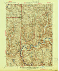
1926 Map of Deposit
USGS Topo · Published 1944About this map
The West Branch Delaware River carves a deep valley through the southern tier of New York, anchoring a landscape defined by small valley hamlets and high ridge schools. In the 1920s, the village of Deposit served as a significant hub for the Erie R R, while the New York Ontario & Western R R traced the eastern hills through Trout Creek. This era reveals a densely populated rural interior, illustrated by the remarkable frequency of one-room schoolhouses like the colorfully named Slow and Easy School, Hungry Hollow School, and Beebe Hill School. Higher elevations such as Michigan Hill and Speedwell Mtn overlook a series of small water bodies including Oquaga Lake and Silver Lake. The map documents numerous settlements and crossings along the river, including Cannonsville and Rock Royal, providing a precise record of the valley's geography and infrastructure before mid-century hydraulic changes.
Find a feature on this map
106 named features on this map. Tap any name to fly to it.
Don’t see what you’re looking for? This feature index may not catch every label — zoom into the map to look around manually.
Map Details
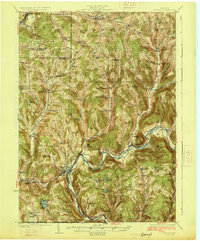
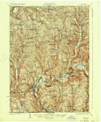
Editions of this 1926 Deposit Map
4 editions found

Other maps of this area

1902 · Coventry
USGS Topo · 1:62,500

1904 · Oxford
USGS Topo · 1:62,500

1905 · Nineveh
USGS Topo · 1:62,500

1915 · Oneonta
USGS Topo · 1:62,500

1915 · Unadilla
USGS Topo · 1:62,500

1918 · Unadilla
USGS Topo · 1:62,500

1918 · Oneonta
USGS Topo · 1:62,500

1920 · Long Eddy
USGS Topo · 1:62,500

1921 · Long Eddy
USGS Topo · 1:48,000

1923 · Long Eddy
USGS Topo · 1:62,500